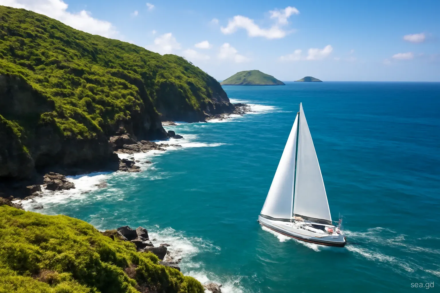
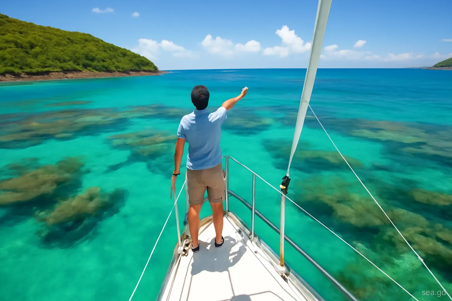
Grenada's south coast is a row of deep, finger-like bays between Point Salines and St David's, many of them fringed or partly blocked by coral reef. Prickly Bay, Mount Hartman, Hog Island, Clarkes Court, Woburn, Port Egmont and the bays further east give some of the best shelter in the Windward Islands, which is why so many yachts spend the hurricane season here. The price of that shelter is pilotage: entrances that wind between reefs, shoals that do not always sit where the chart puts them, and markers that may be missing after a storm.
The skill that matters is eyeball navigation, using the colour of the water, the angle of the sun and a lookout on the bow to see the bottom and steer around it. Electronic charts help, but on this coast they are a guide rather than a guarantee. This page explains how to read the water, when to enter and when to wait, and the errors that most often put boats on the reef.
Reading water colour
Deep blue. Dark, inky blue means deep water, usually well over 15 metres. Off the south coast this is the open water outside the reef line, and it is where you want to be until you have identified the entrance.
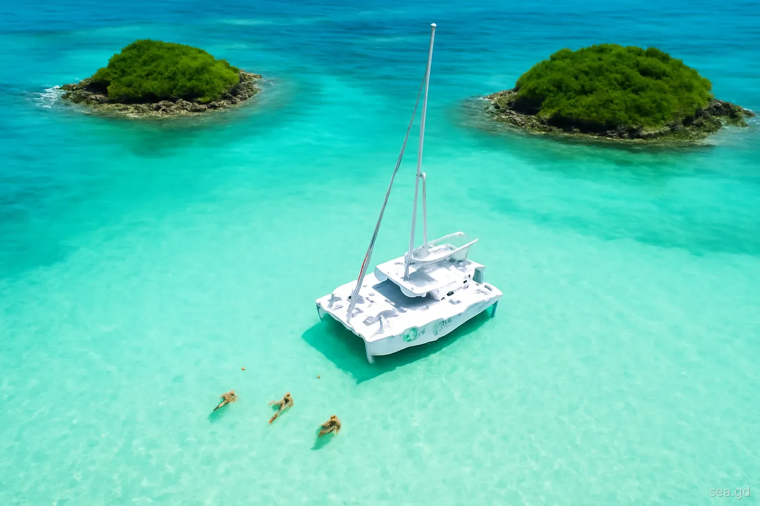
Green and turquoise. Shades of green to bright turquoise generally mean sand in roughly 3 to 10 metres, with paler tones indicating shallower water. This is the colour of most good anchoring areas inside the bays.
Pale turquoise to white. Very pale water over white sand is shallow, often under two metres. It looks inviting and is where many cruising boats touch bottom while trying to tuck closer to the beach.
Brown, golden or dark patches. Brown or mustard patches, especially with a defined edge, are usually coral or rock close to the surface. Seagrass beds also look dark and can be confused with reef, but should be avoided anyway because anchoring on seagrass damages it and the holding is poor.
Cloud shadows. A passing cloud throws a dark patch on the water that can look exactly like a coral head. If a dark patch moves, it is a cloud; if you are unsure, slow down and wait for the light to change.
Sun, time of day and the lookout
Reading water depends on light. The best conditions are with the sun high and behind the helmsman, roughly between late morning and early afternoon. With the sun low and ahead, the surface turns into a sheet of glare and reefs become invisible. Entering a south-coast bay heading west in the late afternoon, for example, means looking almost straight into the sun, which is why experienced skippers plan to arrive from the west in the afternoon or wait for the next morning.
Polarised sunglasses cut surface reflection and make the colour differences far clearer; every person on lookout should have a pair. Height helps too. A crew member standing on the bow pulpit sees more than one at the helm, and on a monohull standing on the first ratlines or boom gives a further advantage in a tricky pass.
Agree simple hand signals before you start: point the direction to steer, palm down to slow, closed fist to stop. Shouting is lost in wind and engine noise, and a lookout who turns round to talk is no longer looking at the water.
Charts, chart plotters and their limits
Much of the underlying survey data for the smaller Caribbean islands is old, and electronic charts can be offset from true positions by a significant distance in places. Boats have run aground while their plotter showed them in the middle of a channel. On a coast where reefs lie a boat length from the safe line, that is enough to matter.
Use the plotter to know roughly where you are and where the entrance should be, and use your eyes for the final approach. Cruising guides written specifically for the Grenadines, updated regularly, carry pilotage sketches, waypoints and notes on recent changes that general charts lack. Waypoints from such guides are useful approach points but are not a guarantee of safe water to the anchorage.
Depth sounders give a useful warning but only tell you what is directly below the transducer, not what lies ahead. A forward-looking sonar helps some crews; most rely on the simple combination of guidebook, eyeball and slow speed.
Buoyage and markers on this coast
The Eastern Caribbean generally follows the IALA Region B system, the one used across the Americas, where red marks are kept to starboard when entering from seaward and green to port. That is the opposite of European practice, which catches out crews used to Region A. On Grenada's south coast, keep these points in mind:
- Some entrances are marked by official buoys or beacons; others rely on private markers placed by marinas or local users. The two may not follow the same logic.
- Markers go missing or drag after storms and heavy swells. A marker that is out of position can be more dangerous than none at all.
- Many reefs are not marked at all. The absence of a buoy does not mean the absence of coral.
- Moorings, fish pots and small fishing floats can be mistaken for navigation marks from a distance, particularly in low light.
- Never navigate by a single marker. Confirm its meaning against the guidebook sketch, the water colour and your position on the plotter before committing.
A safe approach to an unfamiliar south-coast bay
The same routine works for most of the reef-fringed bays on this coast:
- Plan the approach the day before using a current cruising guide and note the entrance waypoint, the main hazards and the best time of day for light.
- Arrive outside the entrance in deep water with the sun high, ideally behind you. If it is late afternoon and the approach faces west, consider anchoring in an easier bay and entering in the morning.
- Drop the sails or reduce to a scrap of headsail so the boat is under easy control on engine, and slow to a speed at which you could stop within a boat length.
- Post a lookout on the bow with polarised glasses, agree the hand signals and keep the sounder visible to the helmsman.
- Enter on the line described in the guide, watching for brown patches on either side, and confirm each marker against the sketch as you pass it.
- Once inside, choose an anchoring spot on clear sand, away from seagrass and moored boats, and check the anchor by eye or snorkel before relaxing.
Mistakes that put boats on the reef
Most groundings on this coast share a handful of causes. The first is arriving late: a long passage from Carriacou or Trinidad finishes in the last hour of daylight, the crew are tired, the sun is low, and the skipper decides to push in rather than wait. Anchoring outside in a more open bay or standing off until morning is almost always the better choice.
The second is trusting the plotter over the eye. The screen shows the boat in the channel, the water ahead looks brown, and the helmsman believes the screen. On this coast, believe the water. The third is cutting corners: taking the inside line round a reef point to save a few minutes, or anchoring too close to the edge of a shoal so that the boat swings onto it when the wind shifts in a squall.
Finally, night entries are a common source of damage. Some bays have lit markers, and some local skippers enter at night with confidence, but for a visiting boat the risk rarely justifies the time saved. A dented keel and damaged coral are both expensive, and the reef takes far longer to recover than the boat.
Frequently asked questions
What time of day is best for entering reef-fringed bays in Grenada?
Late morning to early afternoon, when the sun is high and ideally behind you, gives the best view of the bottom. Entering towards a low sun turns the water into glare and hides coral. Plan passages so you arrive during these hours, and wait if necessary rather than forcing an entry.
Which buoyage system does Grenada use?
The Eastern Caribbean generally follows IALA Region B, in which red marks are kept on your starboard side when entering from sea. Visitors from Europe used to Region A should take particular care. Local private markers may not follow the system, and storm damage can move or remove buoys.
Are electronic charts accurate around Grenada?
They are good for general planning, but some underlying surveys are old and positions can be offset from reality near reefs. Use plotters for orientation, cross-check with an up-to-date cruising guide and rely on visual pilotage for the final approach to an anchorage.
Why should you avoid anchoring on seagrass in Grenada?
Seagrass beds are nursery habitat for fish, turtles and conch, and anchors and chains tear them up. Holding in seagrass is also often poor, so anchors drag. Choose clear sand patches instead; in marine protected areas anchoring may be prohibited altogether in favour of moorings.
Is it safe to enter Grenada's south-coast bays at night?
For visiting boats it is generally not recommended. Many reefs are unlit and unmarked, some markers are private or missing, and visual pilotage is impossible after dark. If you arrive late, anchor in an easy, open bay or stand off until morning light.