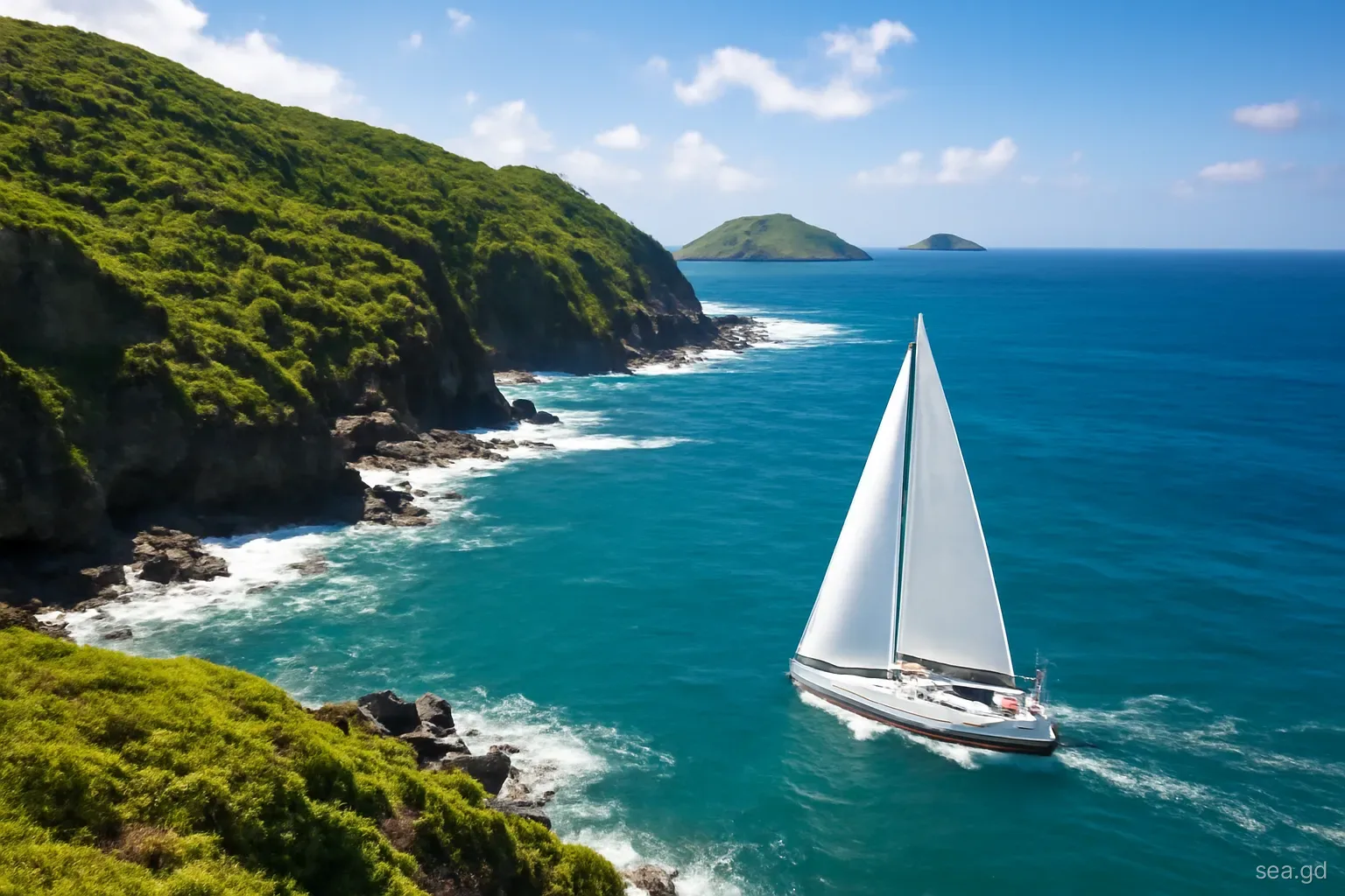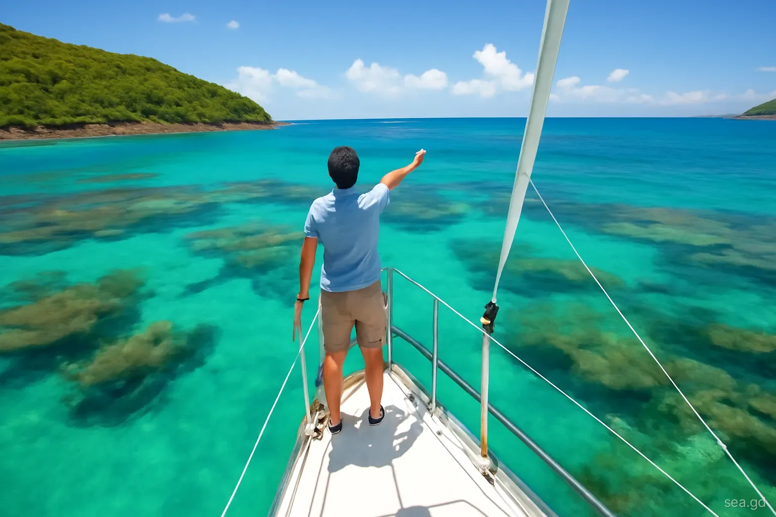
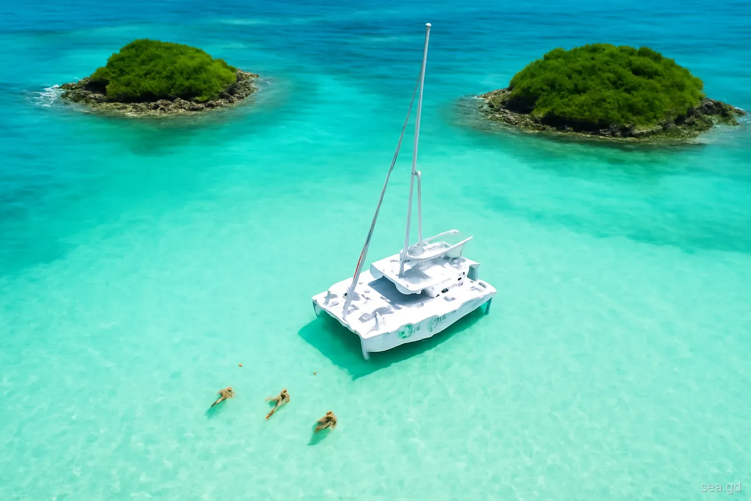
The Tobago Cays are the reason many charter crews start in Grenada. A group of small islands inside a horseshoe reef in the Grenadines of St Vincent, they offer clear water and reef-sheltered anchorages, and they lie roughly 50 to 60 nautical miles north of St George's, close enough for a relaxed outward leg and a slower return. The catch is that the route crosses an international border, so it involves clearing out of Grenada and into St Vincent and the Grenadines, then doing the reverse.
The ten-day plan below assumes a well-found cruising boat, a competent skipper and normal trade-wind weather. Each day is a short leg, leaving slack for a windy day at anchor. Distances are approximate, and clearance procedures, offices and fees should be checked with the authorities on both sides before you go, because they change.
Days one to three: Grenada's south and west coasts
Use the first days to settle the crew, test the boat and provision. Ships' stores on Carriacou and Union are more limited, so stock up properly on the main island.
- Day one: collect the boat on the south coast, complete the briefing, provision and check every system you will rely on: windlass, engine cooling, bilge pumps, navigation lights, VHF and the dinghy outboard. Sail a short afternoon leg or simply spend the night in the base bay.
- Day two: sail west round Point Salines and up the leeward coast to Grand Anse or the anchorages near St George's. This is an easy downwind or reaching leg of under fifteen miles, giving everyone time to learn the boat. Avoid anchoring inside the Moliniere-Beausejour Marine Protected Area, where moorings and rules apply.
- Day three: continue north along the leeward coast towards the northern tip of Grenada, using a sheltered west-coast bay for lunch if the gusts allow. Stopping at a northern anchorage shortens tomorrow's crossing, but these bays are small and exposed to any north swell, so judge them on the day. Many crews instead start the crossing from further south.
Day four: crossing to Carriacou
The passage from Grenada's north coast to Carriacou is around 20 to 30 nautical miles depending on your start and destination, and it is the most exposed leg of the week. The trades usually come from the east or north-east, putting the boat on a close or beam reach, and the current generally sets towards the west. Expect the seas to steepen in the channel, particularly around Isle de Ronde.
The other feature of the crossing is Kick 'em Jenny, an active submarine volcano lying a few miles north of Grenada, to the west of Isle de Ronde. Its alert level is set by the regional seismic monitoring service, and an exclusion zone applies at higher alert levels. Check the current level before leaving and route outside any zone in force. Mark any zone in force on the chart plotter and plan your line around it, remembering that the current will push you west.
Arriving at Carriacou, Tyrrel Bay on the south-west coast is the usual anchorage, with Hillsborough, the main town, a short distance north. Tyrrel Bay is generally better protected; Hillsborough can be rolly in north swell. Carriacou was hit hard by Hurricane Beryl in July 2024, so check which facilities are operating before relying on them.
Days five and six: Carriacou, Sandy Island and clearing out
Spend a day exploring Carriacou's anchorages. Sandy Island, a low sand cay off Hillsborough, lies within the Sandy Island Oyster Bed Marine Protected Area, where moorings and park fees apply and anchoring on the reef or seagrass is not allowed. Further south, the islets of White Island and Saline Island offer daytime stops in settled conditions. Use moorings where provided and take nothing from the reef.
Before leaving Grenadian waters you must clear out with customs and immigration. On Carriacou this has been done in Hillsborough, though procedures, opening hours and electronic pre-registration systems change. Plan to clear out on day six, keep every stamped document, and check whether your crew list, passports and boat papers are all in the form St Vincent will want.
Many crews also take advantage of the last Grenadian shops to top up water and fresh produce. Diesel and water supply in the southern Grenadines is available but not always convenient, and post-hurricane disruption makes it sensible to fill up whenever the chance arises.
Days seven and eight: Union Island and the Tobago Cays
Clear in at Clifton. Union Island lies a few miles north of Carriacou, and Clifton on its east side is the usual port of entry for yachts arriving from Grenada. The approach involves reefs, so make it in good light and follow current pilotage notes. Clear customs and immigration before going anywhere else in St Vincent and the Grenadines waters.
Sail to the Tobago Cays. From Clifton the cays are a short sail north-east. The entrance through or around the reef requires care and good light; most crews arrive late morning with the sun high. The Tobago Cays Marine Park charges fees, and park rangers patrol; rules on anchoring zones, moorings and turtle areas are enforced.
Respect the turtle zone. Green turtles graze the seagrass near the islands, and swimmers come close. Do not chase, touch or feed them, and keep dinghy speeds low inside the park. A spinning propeller is a real danger to turtles at the surface.
Watch the weather overnight. The cays are protected by reef, not land, so the anchorage feels open in strong trades. Holding is generally sand but variable; dive on the anchor and leave plenty of swinging room. If a strong blow is forecast, nearby islands with land protection may be more comfortable.
Days nine and ten: the return and its pitfalls
The return south is usually a pleasant reach or broad reach. A common pattern is to stop at Mayreau or Union on day nine, clear out of St Vincent and the Grenadines at Clifton, then sail to Carriacou to clear back into Grenada before continuing south on day ten. That final run from Carriacou to Grenada's south coast is a long day, so leave at first light.
The mistakes that derail this route are predictable. Crews underestimate clearance time and arrive after offices close, which can cost a full day. Skippers enter reef passes with the sun ahead and cannot see the coral heads. Others anchor on seagrass or reef inside marine parks and receive fines or warnings. Some forget that charter companies often restrict night sailing and set a deadline for returning the boat, with charges for lateness.
Finally, build in a spare day. Strong trades in winter, a squall-heavy tropical wave in summer, or a crew member who wants a day off the water are all reasons to stay put. A ten-day route planned with nine sailing days usually works; one planned with ten rarely does.
Money, provisions and paperwork along the route
Grenada and St Vincent and the Grenadines both use the Eastern Caribbean dollar, pegged at EC$2.70 to US$1, and US dollars are widely accepted. Carry enough cash for marine park fees, clearance charges, moorings and small purchases, because card machines and cash machines in the smaller islands are fewer and can be out of service, particularly while Carriacou and Union recover from storm damage.
Provision heavily in Grenada, where supermarkets on the south coast and in St George's offer the widest choice. Fresh fruit and vegetables can be topped up from vendors along the way, sometimes from boats that come alongside, but supply is irregular. Plan water and fuel as if each fill-up were the last for several days.
Keep a document folder that never leaves the boat: ship's registration, charter agreement, insurance, crew list, passports and every clearance paper issued on the trip. Officials on each side may ask to see what the other country stamped, and losing a paper midway is one of the few ways to turn a holiday into an administrative headache.
Frequently asked questions
How far is it from Grenada to the Tobago Cays by sailboat?
From St George's it is roughly 50 to 60 nautical miles, depending on route and stops. Most cruising boats split it into three or four legs via Grenada's north coast, Carriacou and Union Island, which keeps each day short and allows for customs clearance on the way.
Do you need to clear customs to sail from Grenada to Union Island?
Yes. Union Island belongs to St Vincent and the Grenadines, a different country. You must clear out of Grenada, usually at Carriacou for this route, and clear into St Vincent and the Grenadines at a port of entry such as Clifton before stopping elsewhere. Reverse the process on return.
Is there a fee to visit the Tobago Cays?
Yes, the Tobago Cays Marine Park charges fees for boats and visitors, collected by park rangers. Amounts and payment methods change, so ask your charter company or check with park authorities before you go, and keep cash in Eastern Caribbean dollars in case card payment is unavailable.
Can you anchor at Sandy Island in Carriacou?
Sandy Island lies within the Sandy Island Oyster Bed Marine Protected Area, where anchoring on reef and seagrass is not allowed and moorings are provided. Fees apply. Use the moorings and follow the park rules; check current arrangements because facilities have been affected by recent hurricanes.
Is ten days enough to sail from Grenada to the Tobago Cays and back?
Ten days is comfortable for a relaxed round trip with short legs and one or two spare days for weather or rest. Seven days is possible but tight, especially with clearance on both sides of the border. Shorter trips leave little margin if the trades strengthen.