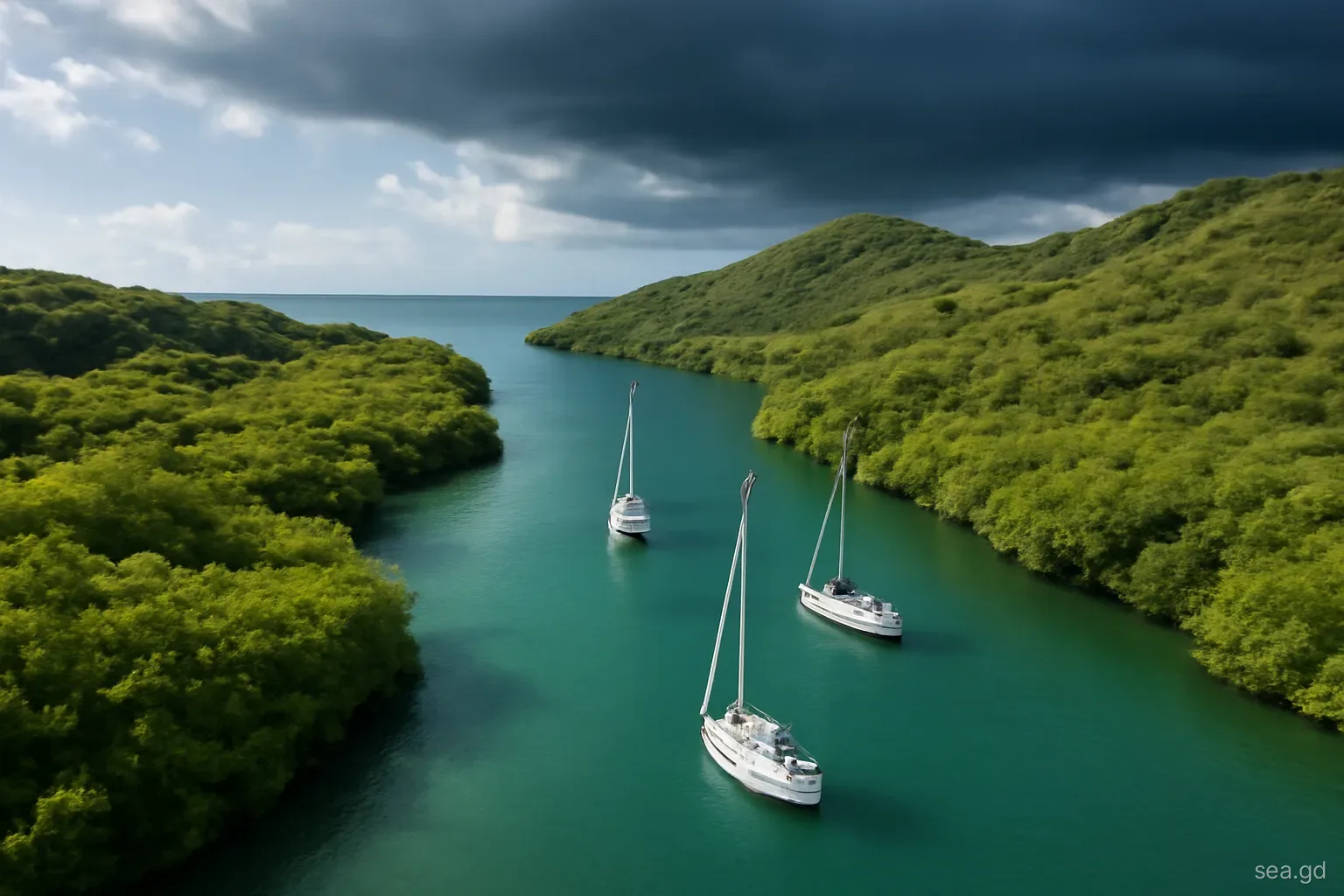
Grenada's south coast is a series of long, indented bays and inlets, several of them fringed with mangroves and protected from the open sea by headlands, reefs and islands. For generations, local fishermen and later visiting yachts have used the most enclosed of them to ride out storms. Cruisers call them hurricane holes, and their existence is part of why boats stay afloat in Grenada over the summer.
A hurricane hole is a way of reducing risk, not removing it. Hurricane Beryl in 2024 showed how a well-known shelter, the mangroves at Tyrrel Bay in Carriacou, can become a scene of wreckage when a powerful storm hits a crowded anchorage. This page describes the traditional holes, what makes one better than another, and the conditions under which they work. It is no substitute for local knowledge, a careful look at the chart and the latest forecast.
What makes a good hurricane hole
Protection from every direction. A hurricane's winds rotate anticlockwise in the northern hemisphere and change direction as it passes. A hole that is sheltered from the east but open to the south or west may be dangerous when the wind backs or veers. The best holes are enclosed by land on all sides, with a narrow, winding entrance.
Short fetch. Fetch is the distance of open water over which wind can build waves. In a small, enclosed basin, even hurricane-force winds cannot raise large seas. In a long bay, waves build towards the downwind shore.
Good holding. Mud or firm sand that takes a heavy anchor well. Soft silt, weed and rubble make anchors drag under storm loads.
Room. Enough space for each boat to swing or to be held in place by multiple anchors and lines, with clearance from other boats and hazards.
Low surge exposure. Storm surge raises water levels, and in low-lying mangrove areas boats can be carried over banks and stranded. A deep basin with steep surroundings is less exposed than a shallow lagoon.
Few boats. The single largest danger in a crowded hole is other boats dragging into yours. A mediocre hole with few boats can be safer than an excellent one packed tight.
The south coast of the main island
Port Egmont is the shelter most often named. It is a deep inlet on the south-east part of the coast, near Calivigny, with a narrow entrance, mangroves along parts of its shores and a basin surrounded by land. Its enclosed shape gives protection from most directions, but space is limited, and in a serious threat it fills fast. Some of the shoreline has seen development over the years, so check the current state of the mangroves and moorings.
Clarkes Court Bay and Woburn Bay, linked and partly sheltered by Hog Island and Calivigny Island, have inner sections that cruisers use in storms. They are larger than Port Egmont, which means more room but also more fetch, and boats position themselves in the most sheltered corners. The bays hold boatyards and marinas, and the marinas have their own storm procedures, which may restrict where anchored boats can lie.
St David's Harbour, home to a large boatyard, is a smaller, protected bay further east, used both for storage ashore and by some boats afloat. Mount Hartman Bay is well protected from the trades and swell in normal conditions, but more open to the south than the inlets further east. Prickly Bay, though the busiest anchorage, is open to the south and is not a hurricane hole.
Carriacou: the Tyrrel Bay mangroves after Beryl
At the northern end of Tyrrel Bay in Carriacou lies a mangrove lagoon, part of the area known as Oyster Bed and within the Sandy Island and Oyster Bed Marine Protected Area. Its narrow entrance and enclosed mangrove shores made it the island's traditional storm shelter, and for years boats crowded into it whenever a system threatened the southern Grenadines.
On 1 July 2024, Hurricane Beryl's eye passed over Carriacou with Category 4 winds. Many boats in the mangrove lagoon and in Tyrrel Bay were damaged, sunk or thrown ashore, and boats on the hard at the yards beside the bay were toppled. The concentration of boats, the strength of the storm and the surge combined to overwhelm the shelter.
The lesson drawn by many sailors is not that mangrove holes are useless, but that they have limits: they work best for a moderate storm, with few boats, each properly secured and tended. A direct hit from a major hurricane can defeat any shelter. In addition, the mangrove lagoon is a protected habitat; rules on access and tying to mangroves apply and may have changed since the storm. Check with the protected area managers and the authorities in Carriacou before relying on it.
Timing the move and the anchorage dynamics
Hurricane holes reward early decisions. When a system appears in the National Hurricane Center outlook with a track towards the southern Windward Islands, boats begin moving days before any watch is issued, and the morning cruisers' net becomes a coordination point for who is going where. Waiting for a hurricane watch, typically issued around 48 hours before tropical-storm-force winds are possible, leaves too little time to reach a good spot and set multiple anchors and lines properly.
Inside the hole, the boats already present shape your options. Talk to neighbours about how each boat is anchored, where lines run ashore and who will be aboard or nearby. Agree how close is too close. If the shelter is already full, it is usually safer to look for a less crowded alternative, or to haul out if a yard can still lift you, than to squeeze into a gap that will not hold when boats begin to swing.
How boats are secured in a hole
Securing a boat for a hurricane in an enclosed shelter is very different from normal anchoring. The common elements are:
- Two or three heavy anchors, set in different directions so the boat is held whichever way the wind blows, or in tandem on a single rode for extra holding.
- All-chain or chain-and-nylon rodes with long, strong nylon snubbers to absorb shock loads.
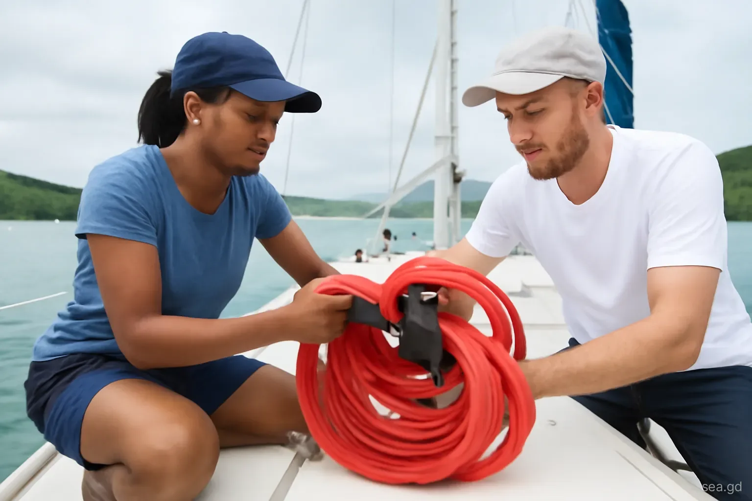
- Lines from the boat to strong points ashore, such as mature mangrove trunks or rocks, tied as low as practical, with chafe protection where they bear on the boat and the tree.
- Heavy chafe protection, such as lengths of fire hose or purpose-made guards, at every fairlead and cleat.
- Everything that catches wind removed from deck and rig: sails, furling headsails, biminis, dodgers, solar panels and wind generators.
- The dinghy removed or securely lashed, and fuel cans taken off the deck.
- Every line checked by diving on anchors after setting and adjusted to share load between them.
Rules, etiquette and common mistakes
Arriving late. The best spots go early, often days before a storm. Boats arriving as the warning is issued get what is left, usually the most exposed or crowded positions.
Crowding others. Anchoring so close that boats cannot swing or that your lines cross others' creates a chain of damage when one boat drags. Coordinate with neighbours.
Damaging mangroves. Mangroves are protected and essential to the shelter itself. Cutting branches or damaging roots is illegal and weakens the very trees you depend on. Use the trunks with protective wraps.
Staying aboard in a major hurricane. Being on a boat in a major hurricane is extremely dangerous. Decide in advance where you will shelter ashore and how you will get there.
Ignoring marina and authority instructions. Marinas, the Port Authority and the Coast Guard may give directions about channels and areas to keep clear. Follow them; blocking a channel endangers everyone.
Leaving the boat to fate. A boat in a hole without anyone tending it before the storm, adjusting lines and chafe gear, is far more likely to fail. If you cannot be present, a hole may not be the right choice.
Frequently asked questions
What is the best hurricane hole in Grenada?
Port Egmont is the most often named, thanks to its narrow entrance and enclosed basin, but space is limited and it fills quickly. The inner parts of Clarkes Court and Woburn bays and St David's Harbour are also used. The best hole on any day depends on the storm's track, the number of boats and how early you arrive.
Is Tyrrel Bay in Carriacou a safe hurricane hole?
The mangrove lagoon at the north of Tyrrel Bay was Carriacou's traditional shelter, but Hurricane Beryl in 2024 damaged or sank many boats there. It may offer protection in moderate storms with few boats, but no shelter is safe in a direct hit from a major hurricane. Rules on its use may have changed, so check locally.
Can you tie a boat to mangroves in Grenada?
Boats have traditionally run lines to mangrove trunks in storm shelters, using protective wraps to avoid damaging bark. Mangroves are protected habitats, and some lie within marine protected areas with their own rules. Never cut mangroves, and check current regulations with the area managers or authorities.
Is Prickly Bay a hurricane hole?
No. Prickly Bay is open to the south and exposed to swell and wind from that direction. It is a convenient anchorage in normal weather, but boats should move to more enclosed shelter, haul out or leave the area if a storm threatens.
Should you stay on your boat in a hurricane hole?
Being aboard during a major hurricane is extremely dangerous and is not recommended. Many crews prepare the boat thoroughly, check it until conditions deteriorate, and then shelter ashore. Plan your shore refuge and transport in advance, and follow instructions from NaDMA.
How early should you move to a hurricane hole?
As early as practical, usually when a system is forecast to threaten Grenada within about three days, rather than when a warning is issued. Early arrivals get the better spots and have time to set multiple anchors and lines. Late arrivals face crowded, exposed positions.