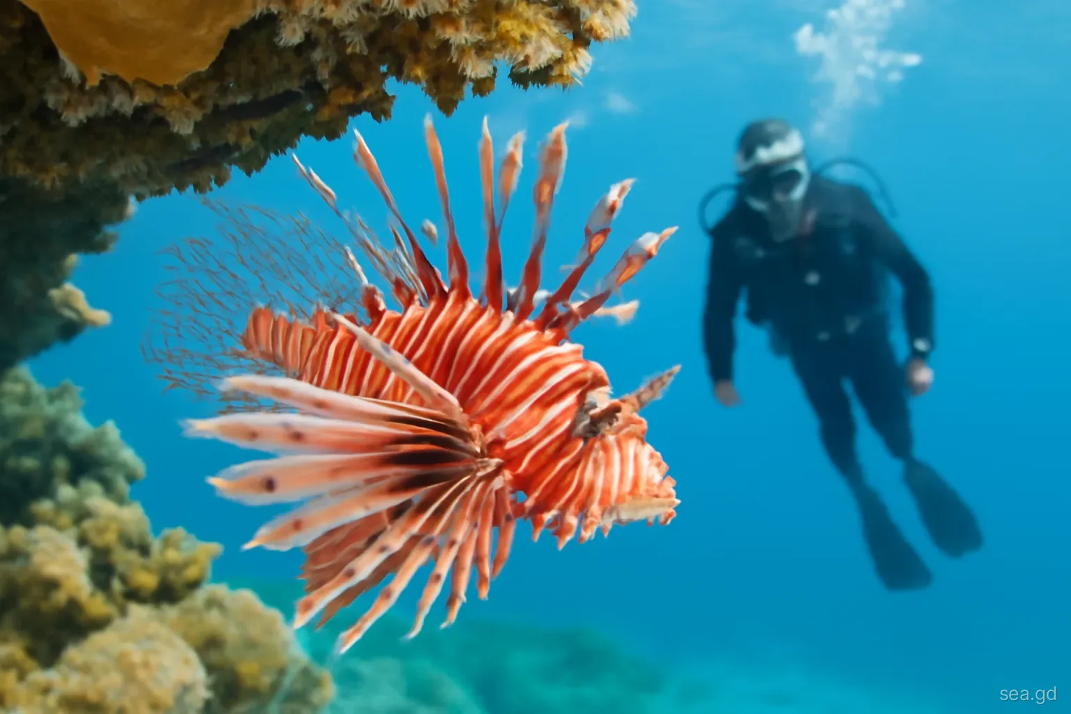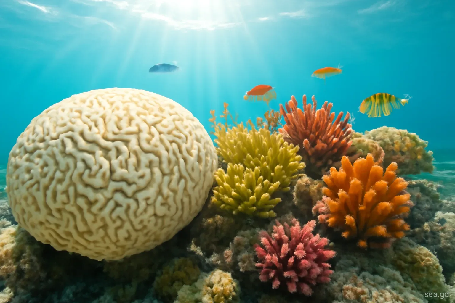
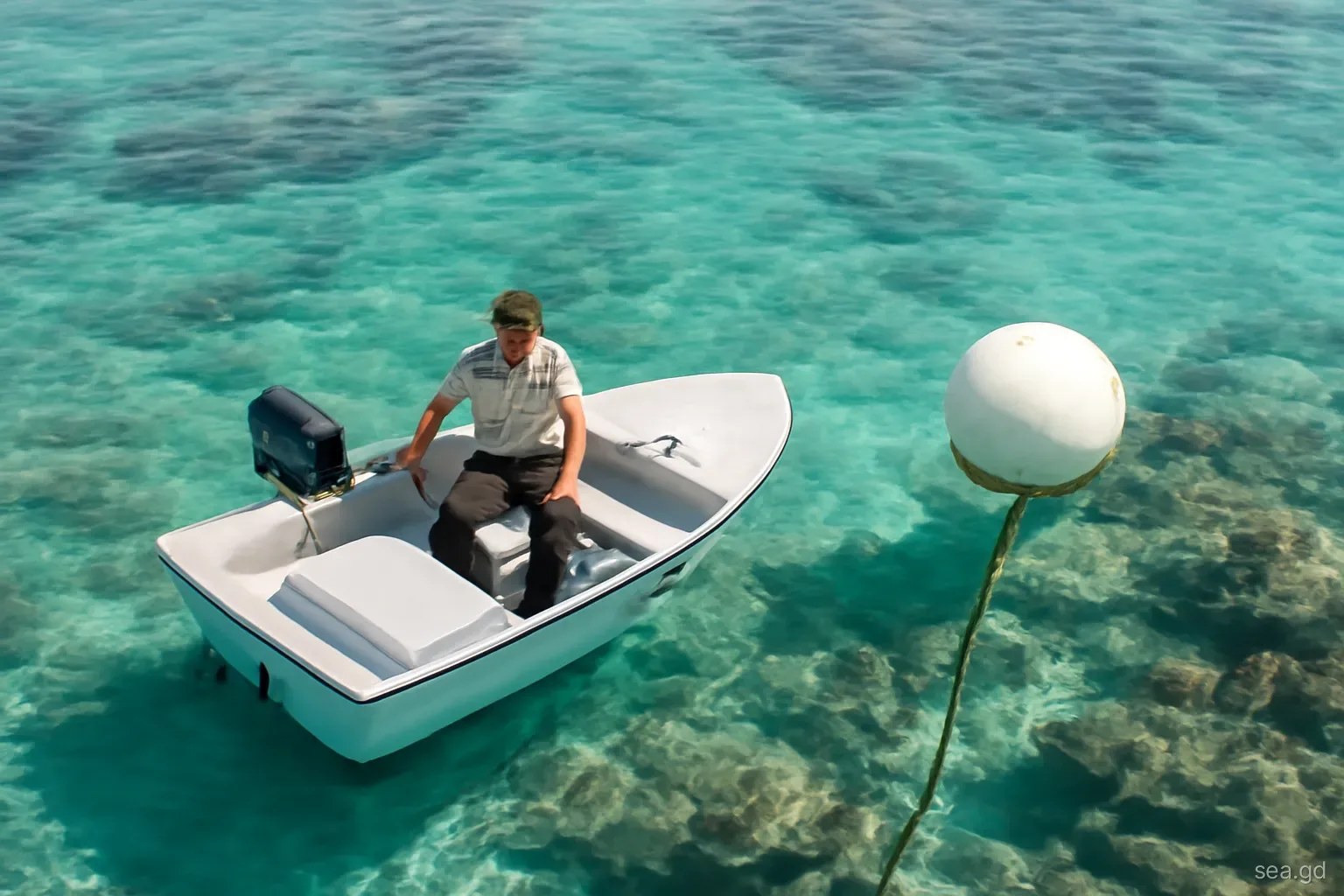
Grenada protects parts of its coast through marine protected areas, usually shortened to MPAs: defined stretches of sea and shore where fishing, anchoring, collecting and other activities are restricted to give reefs, seagrass and mangroves a chance to recover and to support the fisheries and tourism that depend on them. The best known are the Moliniere-Beausejour MPA on the main island's west coast, home to the Underwater Sculpture Park, and the Sandy Island Oyster Bed MPA in Carriacou. A third, on the south coast around Woburn and Clarke's Court Bay, protects mangroves and seagrass in one of the island's busiest yachting areas.
For visitors, MPAs mean a user fee, mooring buoys instead of anchors and a few rules about what can be touched or taken. For fishers and coastal communities, they mean trade-offs that have been debated for two decades. This guide explains what each area protects, how they are managed and what the rules mean in practice.
How MPAs work in Grenada
Grenada's MPAs are established under the country's fisheries legislation and managed by the Fisheries Division, working with local management bodies, community representatives, dive operators and conservation groups. Each area has boundaries, a management plan and, in most cases, zones with different rules. A zone used heavily by snorkellers and divers may allow no fishing at all, while neighbouring zones permit traditional fishing methods under conditions.
Day-to-day management falls to wardens or rangers, who patrol by boat, maintain mooring buoys, collect user fees, talk to visitors and fishers and monitor the reef. Their work is funded partly by government and partly by the user fees paid by divers, snorkellers and yachts, supplemented by grants from regional and international conservation programmes.
Grenada was among the Caribbean governments that joined the Caribbean Challenge Initiative, a regional commitment launched in 2008 to protect a larger share of nearshore marine and coastal areas and to build long-term financing for their management. The national targets set under that initiative have shaped the expansion of MPAs and the planning of new sites, although progress on paper has generally moved faster than funding and enforcement on the water.
The three established MPAs
Moliniere-Beausejour MPA. On the west coast north of St George's, this area takes in the coastline and reefs around Moliniere Point and neighbouring bays such as Flamingo Bay and Dragon Bay. It was designated in law in 2001, with active management following later. It contains some of the main island's best-known snorkel and dive sites, including the Underwater Sculpture Park, which was created in part to draw visitors away from fragile natural reef. It is also an area long fished by nearby communities, so balancing fishing and tourism has been central to its management.
Sandy Island Oyster Bed MPA. In Carriacou, this area covers Sandy Island and its reef off Hillsborough, the waters off L'Esterre and Paradise Beach and the mangrove lagoon known as the Oyster Bed at the northern end of Tyrrel Bay, near Harvey Vale. It protects coral reef, seagrass and mangrove together, an unusually complete set of linked habitats. Yacht moorings and a ranger service operate here, and the area suffered storm damage when Hurricane Beryl struck Carriacou in July 2024.
Woburn Clarke's Court Bay MPA. On the main island's south coast, this area covers the sheltered bays around Woburn and Clarke's Court, with their mangroves, seagrass beds and fringing reef. The bays are a nursery for fish and shellfish, important to the Woburn fishing community, and a base for many cruising yachts, which makes anchoring and pollution management central concerns.
What the rules mean for visitors
Rules differ by area and zone, and they are revised from time to time, but the core principles are consistent. In practice they mean:
- Paying the user fee. Divers, snorkellers and yachts visiting an MPA pay a fee. Dive and snorkel operators usually collect it with your booking; yachts pay rangers directly.
- No anchoring on coral or seagrass. Boats use the mooring buoys provided, or anchor only in designated sandy areas where permitted.
- No touching, standing on or collecting. Coral, shells, sea urchins, starfish and other marine life stay where they are, living or dead.
- Fishing restrictions. Fishing is banned in some zones and limited in others. Spearfishing is not something visitors should attempt anywhere near the MPAs.
- Speed and wake limits. Boats are expected to move slowly near swimmers, divers and moorings.
- No dumping. Rubbish, grey water and fuel stay aboard. Yachts should use holding tanks and pump-out facilities where available.
Why MPAs matter to Grenada beyond tourism
Reefs and mangroves protect Grenada's coastline by breaking waves and trapping sediment, a role that becomes more valuable as storms intensify and sea levels rise. They are nurseries for many of the fish that end up on local tables, from snapper and grouper to jacks and lobster. The idea behind MPAs is not to lock fishers out but to allow fish populations to rebuild in protected zones, from which adults and larvae spill over into surrounding fishing grounds.
That benefit takes years to show, and in the meantime fishers bear the cost of restrictions. In Grenada, as elsewhere in the Caribbean, MPA management has had to work closely with fishing communities through consultation, alternative livelihoods such as working as rangers or boat operators, and adjusting zones. Visitors can support that balance by choosing operators who pay fees and follow the rules, and by eating locally caught fish from legal sources.
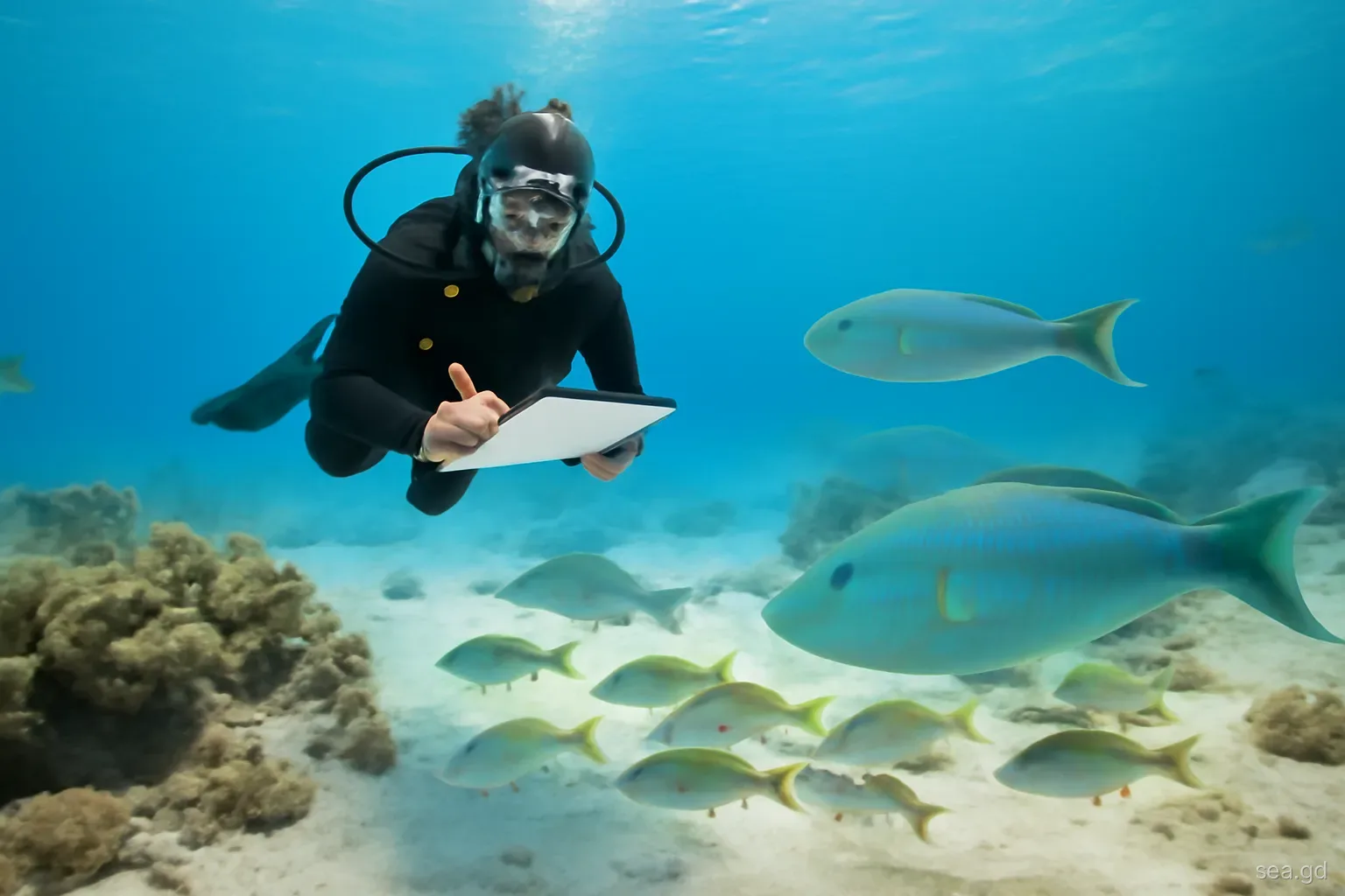
MPAs also serve research and education. Monitoring by the Fisheries Division, St George's University scientists, conservation groups and trained volunteers provides much of what is known about the condition of Grenada's reefs.
Pitfalls and misunderstandings
A common misunderstanding is that the user fee is a tourist tax with no connection to the reef. In practice, it funds rangers, mooring maintenance and monitoring, and protected areas without fees across the region often struggle to function. If your operator does not mention the fee, ask whether it is included rather than assume it has been waived.
Another is thinking that only the sculpture park or Sandy Island itself is protected. The boundaries extend well beyond the famous spots, covering neighbouring bays, reefs and mangroves. Yacht crews anchoring nearby should check whether they are inside the area and where moorings or sand patches are.
Finally, rules change. Zones are adjusted, fees revised and new areas proposed. Treat any guidebook summary, including this one, as a general picture, and confirm the current rules with your operator, the rangers or the Fisheries Division.
Visiting each area: what to expect on the water
Most visitors experience Moliniere-Beausejour on a catamaran or dive boat from the Grand Anse area. The boat ties to a mooring, the crew collect or have already included the user fee, and guests snorkel or dive over the sculptures and the natural reef along the point. Rangers may come alongside to check that boats are moored correctly. On busy cruise-ship days the sculpture site can be crowded, while the neighbouring bays are often quieter.
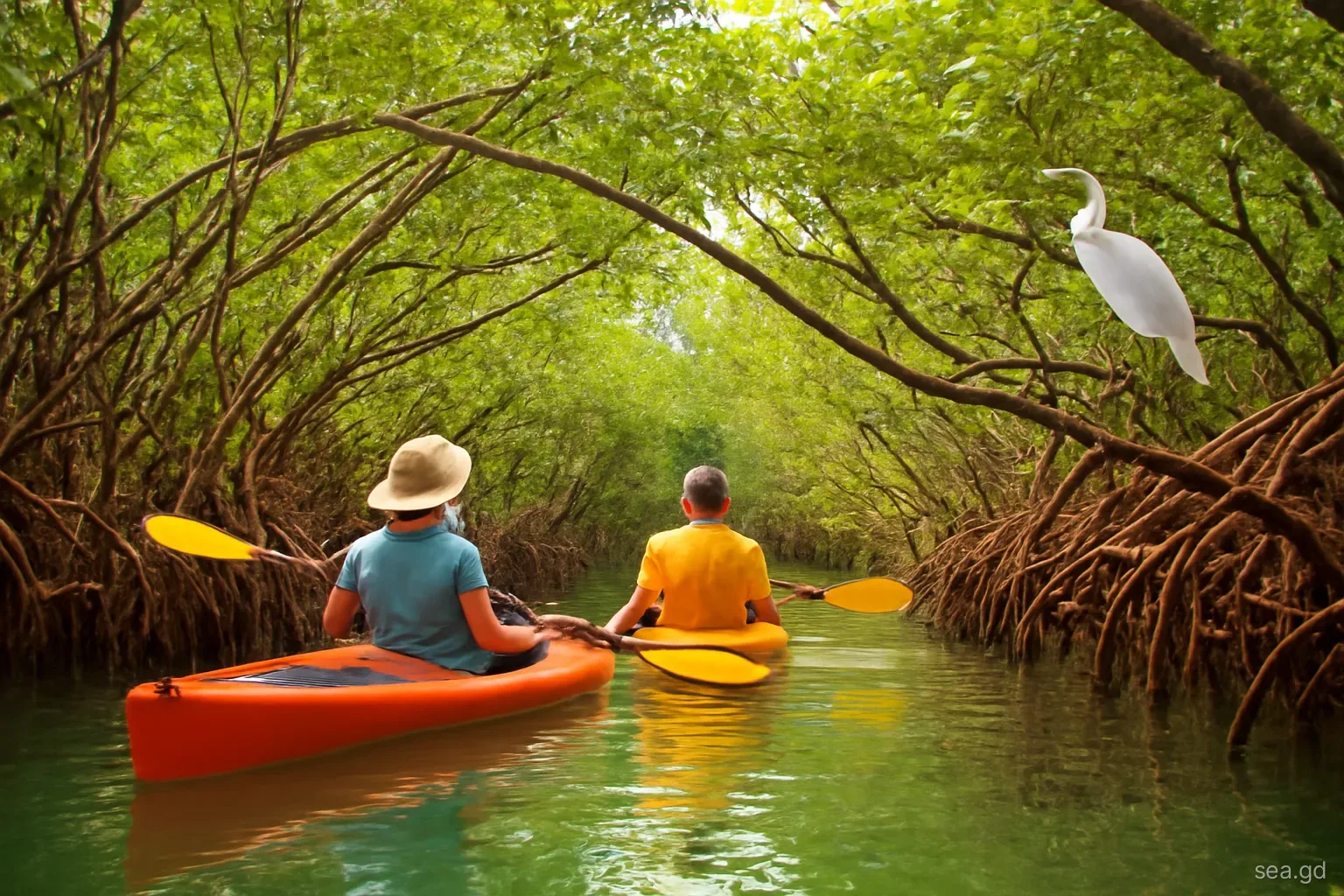
In Carriacou, a visit to the Sandy Island Oyster Bed MPA might be a water-taxi ride to Sandy Island, a dive with a Carriacou dive centre, or a yacht picking up a mooring off Sandy Island or Paradise Beach. The Oyster Bed mangroves at Tyrrel Bay can be explored by kayak or dinghy, quietly and without disturbing roots or birds. Expect a ranger to collect the fee from yachts, and check locally on the state of moorings and facilities since Hurricane Beryl.
The Woburn Clarke's Court Bay area is visited mainly by yachts anchored in the south coast bays, by kayakers and by people heading to Hog Island. It is less of a snorkelling destination than the other two, but its mangroves and seagrass beds are a vital nursery, and careful anchoring and waste management by the many boats based there have a direct effect on its health.
Frequently asked questions
How many marine protected areas does Grenada have?
Three are well established: Moliniere-Beausejour on the west coast, Sandy Island Oyster Bed in Carriacou and Woburn Clarke's Court Bay on the south coast. Further sites have been proposed over the years, so check with the Fisheries Division for the current list.
Do visitors have to pay to enter Grenada's marine parks?
Divers, snorkellers and yachts using the marine protected areas pay a user fee. Operators usually collect it as part of your trip, while yachts pay rangers directly. Amounts change from time to time, so confirm the current fee when booking.
Is fishing allowed in Grenada's MPAs?
It depends on the zone. Some zones prohibit fishing entirely, while others allow traditional methods under conditions. Visitors should not fish or spearfish in or near MPAs unless an authorised operator confirms it is permitted at that spot.
Is the Underwater Sculpture Park inside a protected area?
Yes. The sculptures lie within the Moliniere-Beausejour Marine Protected Area on the west coast, so the user fee applies and the usual rules on mooring, touching and collecting are enforced.
Who manages Grenada's marine protected areas?
The Fisheries Division manages them under the fisheries legislation, working with local management committees, rangers, communities, dive operators and conservation organisations. Rangers handle patrols, moorings, fees and monitoring.